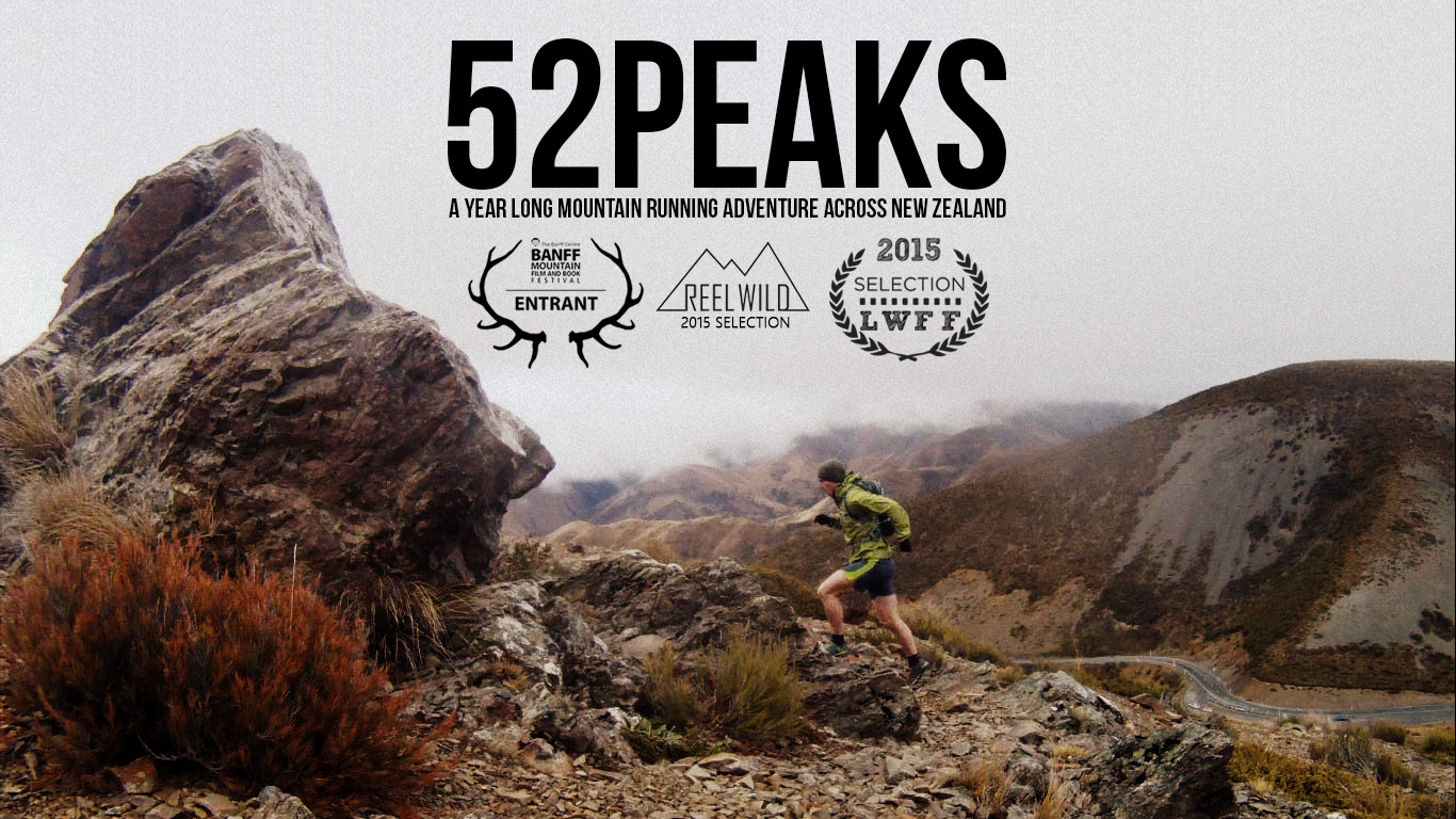
What a great feeling on a mid-week peak. After driving out from Christchurch at 7am in the pouring rain to finishing the run in the scorching sunlight of a blue sky day. Canterbury outdoes itself yet again.
Red Hill (1641m) is 5km south of the Craigieburn range inbetween Lake Lyndon and Lake Coleridge, to the west of Porters Pass. It’s different to most hills as surrounding it are some rolling foothills… usually in New Zealand you basically get a glaciated valley surrounded by VERTICAL slopes up to a point peak, however, Red Hill is different and has different terraces of mountains before the actual summit, making it an interesting route-finding experience.
I started from the Acheron River along Lyndon Road (passing peaks 10, 14 & 15) and followed one of it’s tributaries up to a section of forest along a farm trail to start with. The rain was pouring and I was fully kitted up in my waterproofs. The rain eased slowly and drizzle began… but as I ended up battling through matagouri towards the forest, it stopped and became clear. The first half an hour was pleasant, gently winding up the river, onto a plateau where the source of a few rivers starts and meandering through a forested section into the scrubland.
However, after that it all got a bit serious and steeper. My route choice was to head from pt.936 in the forest up towards the col between pt.1488 and pt.1494. This looked great from a distance away, but as I got closer I realised that it was simply a scree slope, not the best choice. Quickly I adjusted and headed up the left hand ‘valley’ which was pretty steep and it steeply climbed up towatds the 1500m mark. From here it would be an easy ascent to the top.
After about 10 minutes of heavy panting, I wasn’t making much ground but kept pushing until I hit the col, hoping that it wouldn’t be too far to go to the summit… as per usual that map plays tricks on you at this 1:50,000 scale and at the col I still had over a 1km and 250m climb to go. Agh… legs!
Still, the weather was starting to move across – the wind picked up and I put on my waterproof for the second time today.
I battled across the ridge and onto the final climb, which was pretty much a scree slope, but not that loose. Digging in for the final ten minutes I reached the summit within the hour and was pretty chuffed with the dramatic view of Lake Coleridge and the Rolleston Range glistening in the distance.
The wind was roaring, so decided on a quick photo and back down again into the sheltered valley.
The descent was pretty awesome and swift, with the scree being the perfect size and the slope angle perfect so not to lose momentum. I was back in the forest before no time.
Out across the matagouri and joining the farmer’s track for another quick peak – and back to work before 1pm. Awesome!!
M


One Comment